About the Project
The Site Allocation Project is a focused initiative aimed at managing and analyzing spatial data related to land allocation and usage. By leveraging Geographic Information System (GIS) technology, this project ensures that site allocations are aligned with urban planning goals and policy requirements, improving efficiency and decision-making for stakeholders across the UK.
Project Objectives
The main objective of the project is to support land allocation processes by utilizing geospatial data to identify suitable locations for development while maintaining sustainability and policy compliance. The specific goals include:
- Analyzing spatial data to identify optimal land allocations for various purposes such as housing, commercial, and recreational use.
-
Ensuring data accuracy and reliability in site allocation processes.
-
Providing comprehensive visual and analytical tools to aid policymakers and stakeholders.
Scope of Work
The Site Allocation Project encompasses the following activities:
- Data Collection and Cleaning : Gathering and cleaning spatial datasets from multiple sources to ensure high-quality and up-to-date information.
- Spatial Analysis : Utilizing GIS tools to analyze land suitability, accessibility, and other critical factors.
-
Site Prioritization : Ranking potential sites based on predefined criteria, such as environmental impact, proximity to infrastructure, and policy objectives.
-
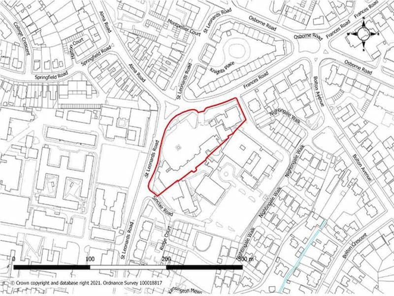
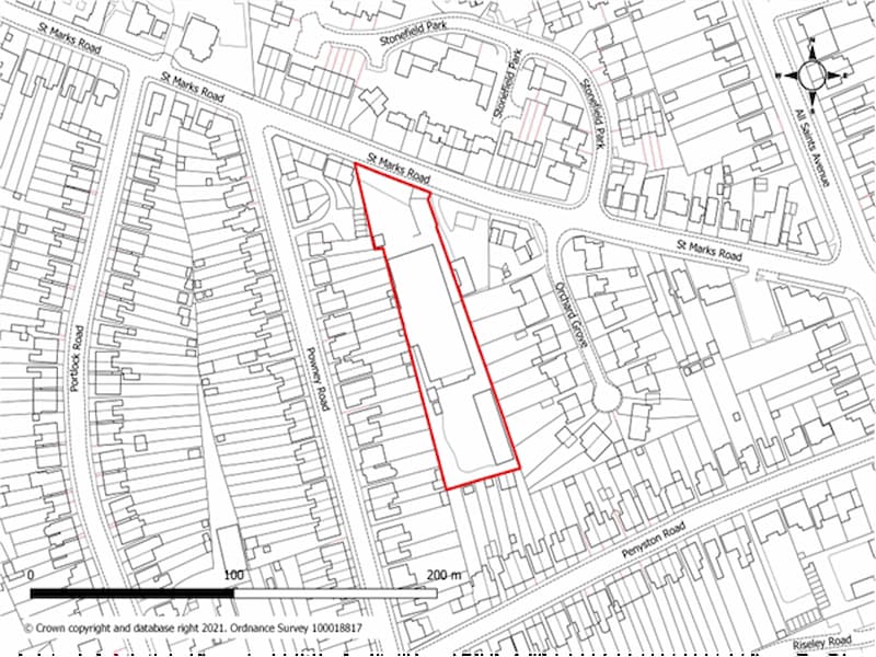
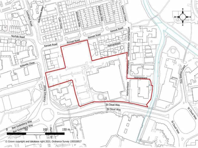
Visualization and Reporting : Creating maps and reports to communicate findings effectively to stakeholders.
Expected Impact
Through this project, the following outcomes are anticipated:
- Enhanced Land Use Efficiency : Supporting better site allocation decisions aligned with urban planning needs.
- Sustainable Development : Promoting land use that balances economic, social, and environmental factors.
-
Informed Policymaking : Providing reliable data and analysis to guide policy decisions.