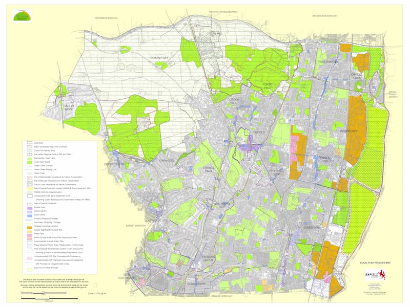
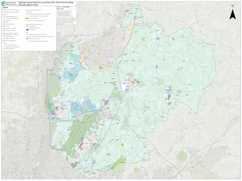
About the Project
The Local Policy Data Processing Project is a specialized initiative aimed at managing and validating geospatial data related to local government policies across the United Kingdom. This project leverages Geographic Information System (GIS) technology to enhance the quality and reliability of spatial data, ensuring it meets the standards required for effective decision-making and governance.
Project Objectives
The primary goal of this project is to support the processing and validation of geospatial data from local government policies to facilitate its use in urban planning and policy development. The objectives include:
- Cleaning and standardizing spatial datasets from various local policy documents.
-
Validating geospatial data to ensure its accuracy and adherence to government standards.
-
Providing a robust foundation for stakeholders to conduct detailed analysis and planning.
Scope of Work
The project focuses on the following key areas:
- Data Input and Cleaning : Inputting local government policy data into QGIS and performing comprehensive data cleaning to eliminate errors and inconsistencies.
- Data Validation : Ensuring that all geospatial data meets defined quality standards, including geometry validation and attribute completeness.
-
Geospatial Analysis : Analyzing spatial data to identify trends and insights relevant to urban development and policy implementation.
-
Data Integration : Compiling and integrating datasets from multiple sources to create a unified geospatial database.
Expected Impact
Through this project, the following benefits are anticipated:
- Enhanced Policy Implementation : Ensuring local policies are backed by reliable spatial data, leading to better execution and outcomes.
- Improved Decision-Making : Supporting data-driven approaches for urban planning and governance.
-
Enhanced Community Engagement : Making it easier for the public to access relevant geographic information for their needs.